
Custom agricultural intelligence for questions that do not fit a platform.
Satellite, crop, weather, and environmental analysis scoped to your question, delivered by the team behind AP Intelligence. For agribusiness, carbon and sustainability programs, research, and public-sector organizations.
The kinds of questions we take on
Projects are scoped engagements with a defined question, geography, and deliverable. Some become recurring monitoring; others are one-time studies. Three project types cover most requests, including monitoring, reporting, and verification (MRV) inputs for carbon and sustainability programs. Anything else is scoped as a custom project.
What is planted where, and how much of it, across a region or portfolio.
Season outcome analysis, modeled yield context, and multi-season history across areas of interest.
Support carbon and sustainability programs with geospatial monitoring, historical baselines, change tracking, and reporting inputs for monitoring, reporting, and verification workflows.
Discuss an MRV Project →Custom indicators, environmental and drought monitoring, regional condition and production context for sourcing and risk teams, and research questions are scoped the same way: a defined question, a geography, and a deliverable.
Satellite evidence for monitoring, reporting, and verification.
American Prime can support carbon-project developers, sustainability programs, and environmental markets with satellite and geospatial evidence for monitoring, reporting, and verification. Projects can include historical baselines, land-cover and crop monitoring, management-practice indicators, change analysis, and reporting-ready outputs.
Each project is scoped against the program's methodology and the data available for its area, so the proposal states what the satellite record can and cannot show before work begins.
Discuss an MRV Project- Historical baselines from the satellite archive
- Land-cover monitoring across the project area
- Crop and vegetation monitoring through the season
- Management-practice indicators, such as cover-crop presence, where the satellite record supports them
- Change detection between dates, seasons, or years
- Project-area monitoring on a defined schedule
- Historical comparisons against baseline periods
- Reporting-ready maps, summaries, and spatial evidence packages
- Geospatial data exports as project deliverables
- Custom project indicators scoped to the program’s methodology
What American Prime does not decide
American Prime provides monitoring and analytical evidence for MRV workflows. Credit issuance, independent verification, certification, additionality determinations, and registry approval remain with the appropriate third parties.
How an engagement runs
A short discovery call defines the question, geography, timeline, and whether the data exists to answer it.
You get a fixed scope: methods, deliverables, schedule, and cost. No open-ended consulting.
The team runs the work with checkpoints where the question benefits from your review.
Reports, maps, datasets, or recurring feeds, depending on what the question calls for.
Scientific depth behind every deliverable.
The same people who build AP Intelligence run the custom work: remote sensing and machine learning, drought and extreme-weather science, and cloud pipelines that process satellite, weather, and field data at scale.
Meet the team →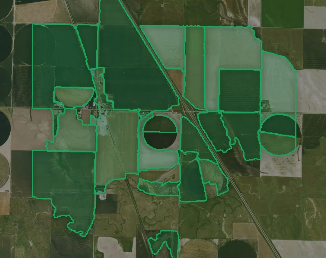
- A defined question tied to crops, land, weather, environment, or a carbon project area
- A geography where satellite and weather data can carry the analysis
- Project scale from a single study to a recurring regional program
If the question fits the standard platform better, we will tell you and point you to AP Intelligence instead.
Bring us the question.
Describe the project, the geography, and the timeline. Our team typically responds within one business day with whether and how we would approach it.
Discuss an Analytics Project